On today's front page of the Times-Picayune is some
great news. The Army Corps of Engineers says that by 2011 the new levees and pumps will mean that New Orleans would stay dry even with a major hurricane. Thanks Corps! I've been giving everyone high-fives, and
Howie said this means we can all expect refund checks for our insurance companies with notes of apology for the high rates. Too bad we wasted all that money raising our house. And perhaps it's time to quit focusing on the past, as I've sure been critical of the Corps over the past 927 days. Now it is clear that they have got their act together and let's all move forward together. "OH HAPPY DAY..."
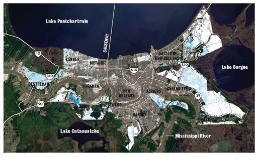
In the above picture you see that our city in 2011 is dry after a major hurricane. That is if the Corps levees hold and the pumps all work at 100% capacity. Wheeww! What a relief! And to think that I was worried.
1 comment:
Note that much of Orleans east bank is also dry in a 100 year storm with the construction that existed last year and the pumps running 100%.
Under that reasoning, why is the Corps spending money in Orleans Parish? Theoretically, only a few tens of millions would need to be spent on stormproofing pump stations, because the maps show that much of the East Bank is safe right now.
I'm trying to make the point that releasing the maps without explaining what they're based on is useless, a criticism the National Research Council leveled at IPET on February 28th:
http://www.nap.edu/catalog.php?record_id=12167
"Rather, the main limitation regarding these maps is inadequate explanation of their main points and what they imply for future resettlement and rebuilding. Citizens and entities that must make fundamental decisions about whether or not to (re)locate in New Orleans, what parts of the city are more or less vulnerable to storm surge, what types of structural and nonstructural flood protection measures they must adopt, and so on, will find this presentation limited and perhaps confusing. There is a great deal of important information within these inundation maps. But there is so little supporting explanation that the reader easily can be overwhelmed with information and technical detail without deriving an understanding of the maps’ key points."
Post a Comment